
The Casablanca Marathon 2026 route is now online. Interactive maps, elevation profiles and GPX files are available on the Marathon, half & relay page, so you can prepare your race in the best possible conditions.
A World Athletics & AIMS certified course
Start and finish near the Hassan II Mosque, on a route that runs past the city's landmark sites. Certification guarantees that performances are officially recognised.
Elevation
With only 200 metres of elevation gain over 42 km, the course is flat and fast. A route suited to personal bests as well as first-timers.
Aid stations
- Marathon 42 km: 9 aid stations, from km 5 to km 40
- Half marathon 21 km: 4 aid stations, from km 5 to km 20
Pacers
- Marathon: 3:00, 3:15, 3:30, 3:45, 4:00 and 4:15
- Half marathon: 1:30, 1:45 and 2:00
Start times
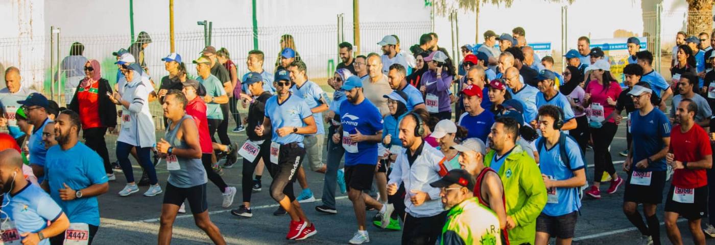
- Marathon at 8:00 am (6-hour time limit)
- Relay at 8:05 am
- Half marathon at 8:45 am (3-hour time limit)
4 × 10.5 km relay
Handover zones at km 10.5, 21 and 31.5. Shuttles leave from Zerktouni / boulevard Sidi Mohammed Ben Abdellah at 7:00 am.
Download the 42 km GPX and 21 km GPX tracks to load them onto your watch.
Casablanca Marathon 2026
All news